Google Earth satellite image of -10.524011, -65.247719
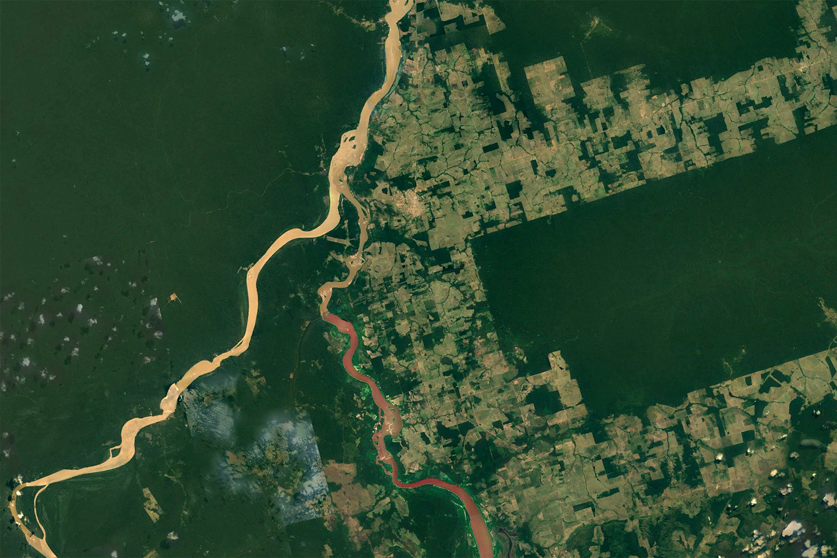
Image ID: brazil_-10.524011_-65.247719_crop | Year photographed: 2018
Tags: satellite imagery | amazon rainforest | deforestation | amazon deforestation | rainforests | brazil
Photographer:
Country: brazil Location:
Advanced search (by country, tag, country-tag combination, etc)
Find an error, a misidentified image, a distorted picture, or another problem with this page? Please let me know.