|
HONDURAS: Copan | Pico Bonito | Cuero y Salado Refuge | Flora | Reptiles | Insects |
|
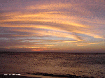
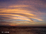
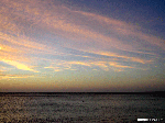
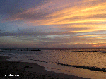
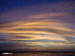
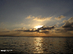
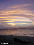
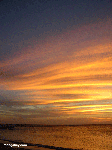
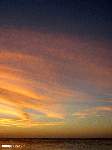
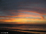
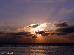
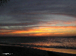
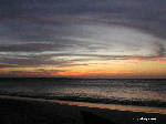
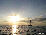
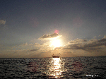
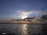
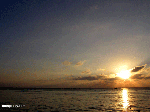
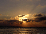
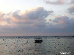
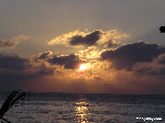
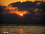
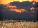
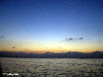
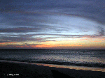
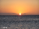
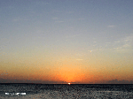
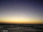
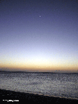
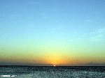
Roatan Sunset Photos
Roatan Island is the largest of Honduras' Bay Islands -- measuring roughly 29 miles long and 4 miles wide. Roatan is best known for its fantastic reefs which make it one of the best snokeling and diving destinations in the Caribbean..
I apologize in advance for the sunset pictures but my excuse is that my underwater digital wasn't available for taking more interesting photos. Recommended travel guides on Honduras: 
Honduras [Wikipedia]: The capital and most populated town is Coxen Hole, located in the Southwest of the island. Other important towns include French Harbor and Oak Ridge. Located near the largest barrier reef in the Caribbean Sea (second largest worldwide after Australia's Great Barrier Reef), it has become an important cruising and diving destination in Honduras. Tourism is its most important economic sector, though fishing is also an important source of income for islanders. In 1998, the island suffered considerable damage from Hurricane Mitch, temporarily paralyzing most commercial activity. Tourism and environmental impact While tourism has strongly contributed towards the economic development of the island, it has also altered Roatan's fragile ecosystem. Land clearing for the construction of residential complexes, as well as improper sewage and garbage disposal methods, have inflicted considerable damage to the island in a time span of less than a decade. Several efforts by environmental organizations have helped to reduce the adverse environmental impacts. Still, the long-term success of these efforts is uncertain because the inflow of tourism is likely to increase with the completion of a new international airport in the neighboring island of Utila. Language Although Spanish is spoken in mainland Honduras, the main language on the island is (creole) English, |
what's new | rainforests | tropical fish | for kids | search | about | copyright & use | contact |
Copyright Rhett Butler 1994-2012 Pictures were taken by Rhett A. Butler, copyright 2008. While these photos are the property of mongabay.com, it may be permissible to use them for non-commercial purposes (like powerpoint presentations and school projects), provided that the images are not altered in any form. Please read this for more details. If you are interested in using an image in a publication please contact me. Mongabay.com is a free resource. |

